5j Bus in Peel
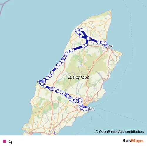
Ramsey Bus Station – Douglas, Banks Circus
Route Path (Streets & Roads)
Bus 5j FAQ
What time does the 5j bus start operating?
Services on the 5j bus start at 20:42 on Monday, Tuesday, Wednesday, Thursday, Friday, Saturday.
What time does the 5j bus stop working?
Services on the 5j bus stop at 22:23 on Monday, Tuesday, Wednesday, Thursday, Friday, Saturday.
Is there a 5j bus stop near me?
Click here to view the nearest 5j bus stop.
5j (Peel Buses)
The first stop of the 5j bus route is Ramsey Bus Station and the last stop is Douglas, Banks Circus. 5j is operational during everyday.
Additional information: 5j has 84 stops and the total trip duration for this route is approximately 101 minutes.
See why over 2 million users trust and consider busmaps.com as the best public transport website. busmaps gives you Peel Buses suggested routes, real-time bus tracker, line route maps in Peel, and helps to find the closest 5j bus stops near you. No internet available? Download an offline PDF map and bus schedule for the 5j bus to take on your trip.